
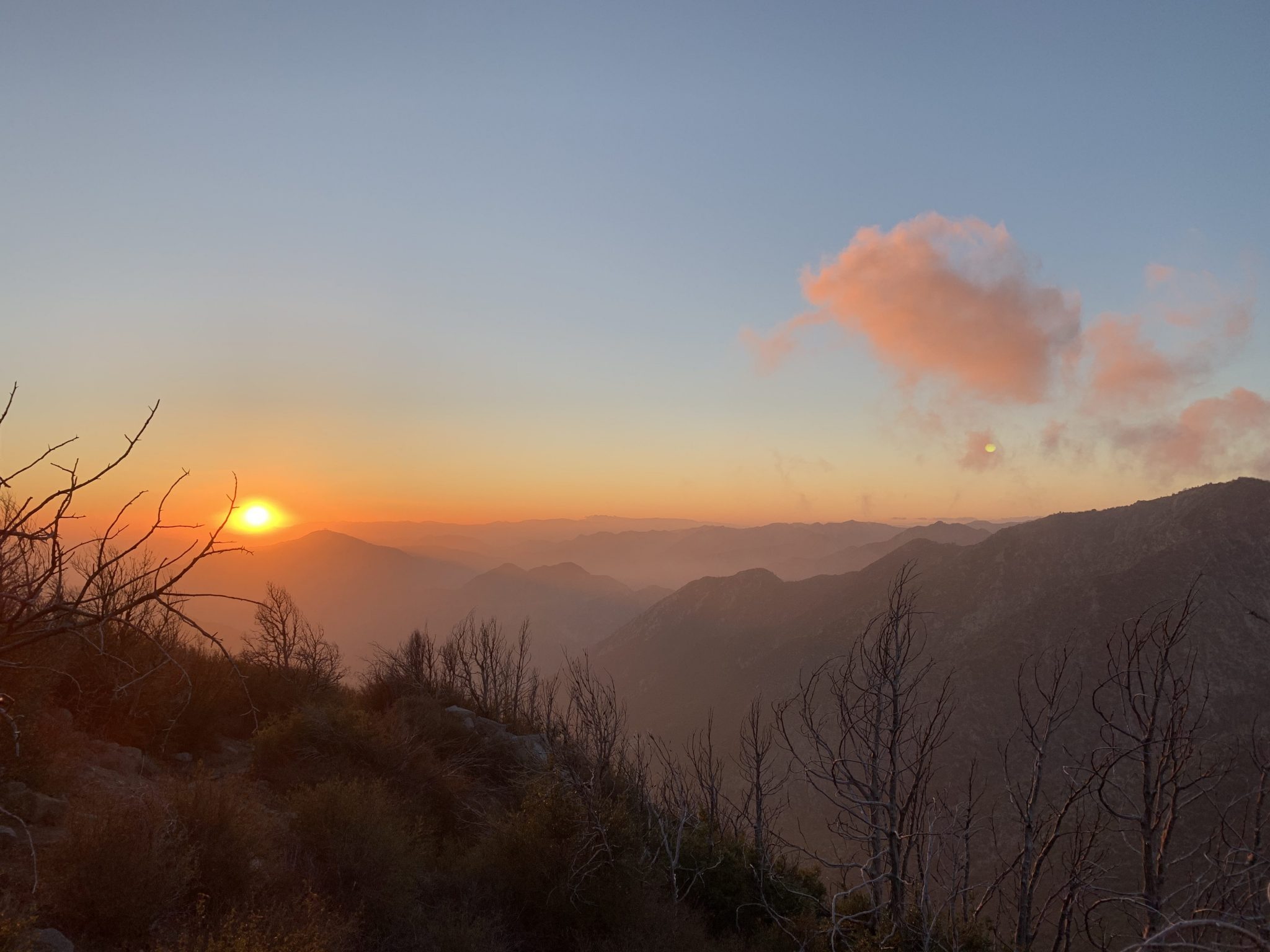
Definitely bring the camera.
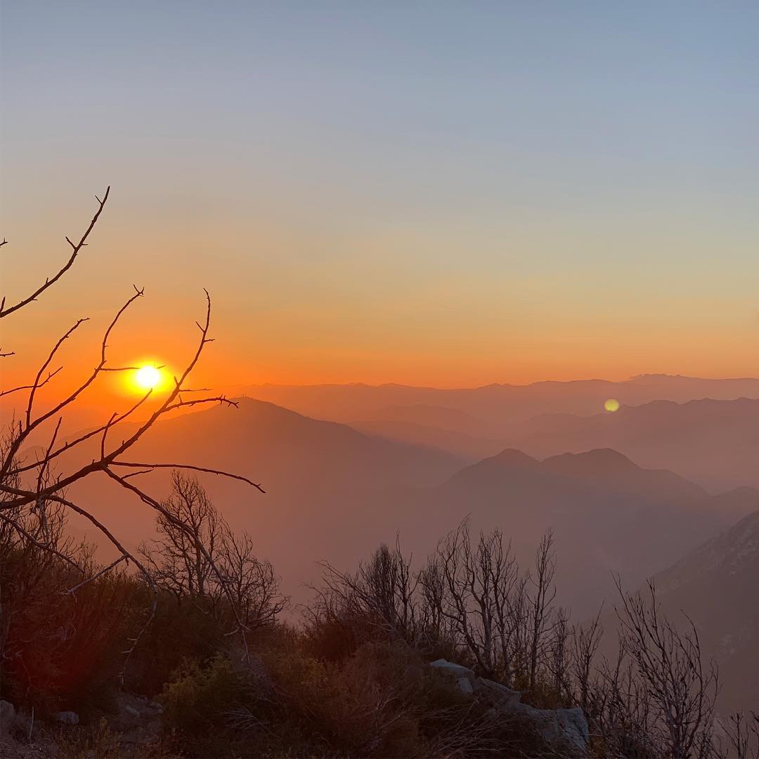
The views from this vista are spectacular.
Where exactly is Mt. Lowe?
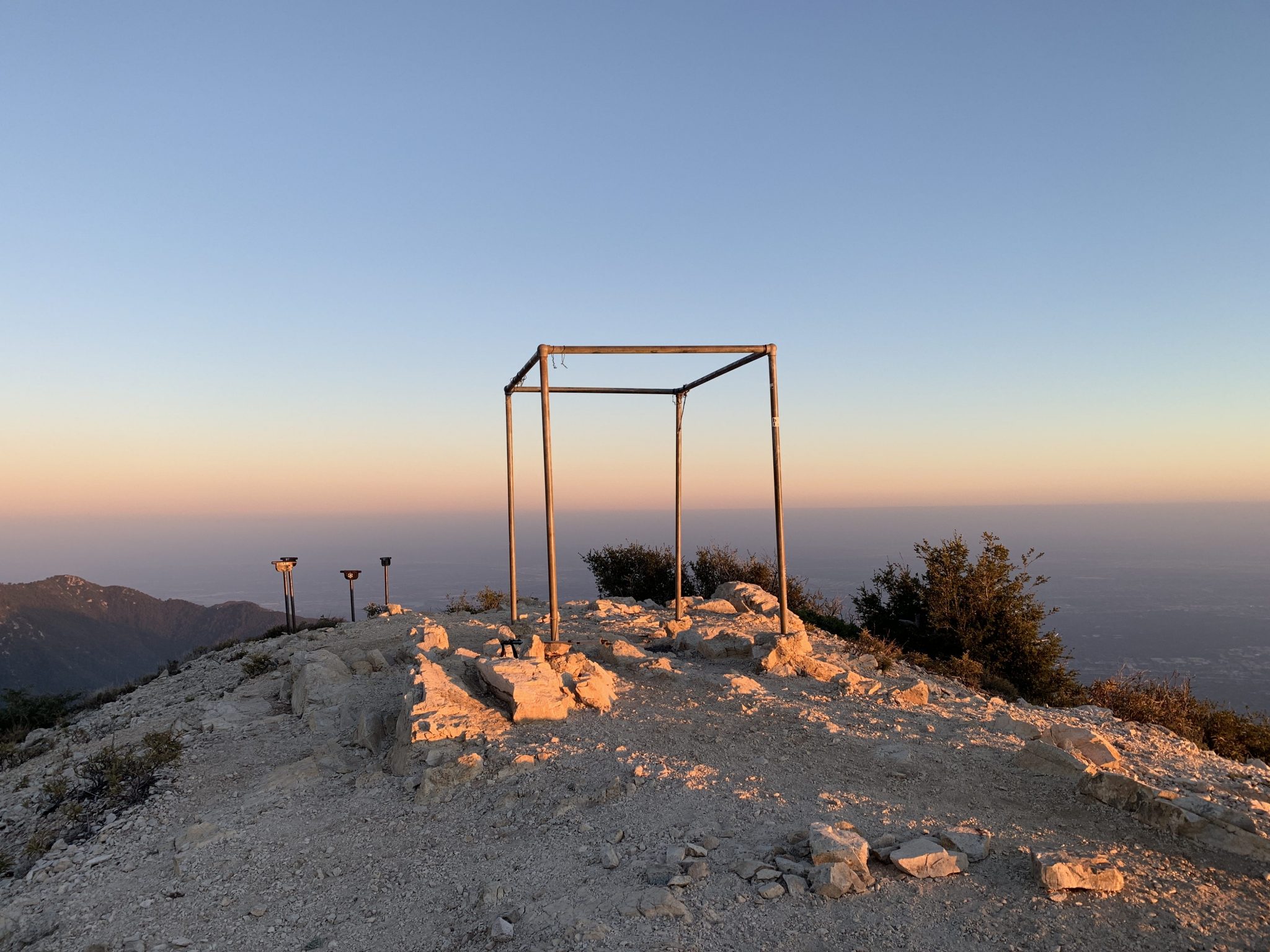
Mt. Lowe is part of the San Gabriel front ranges overlooking Pasadena from it’s elevation of 5,574 feet.
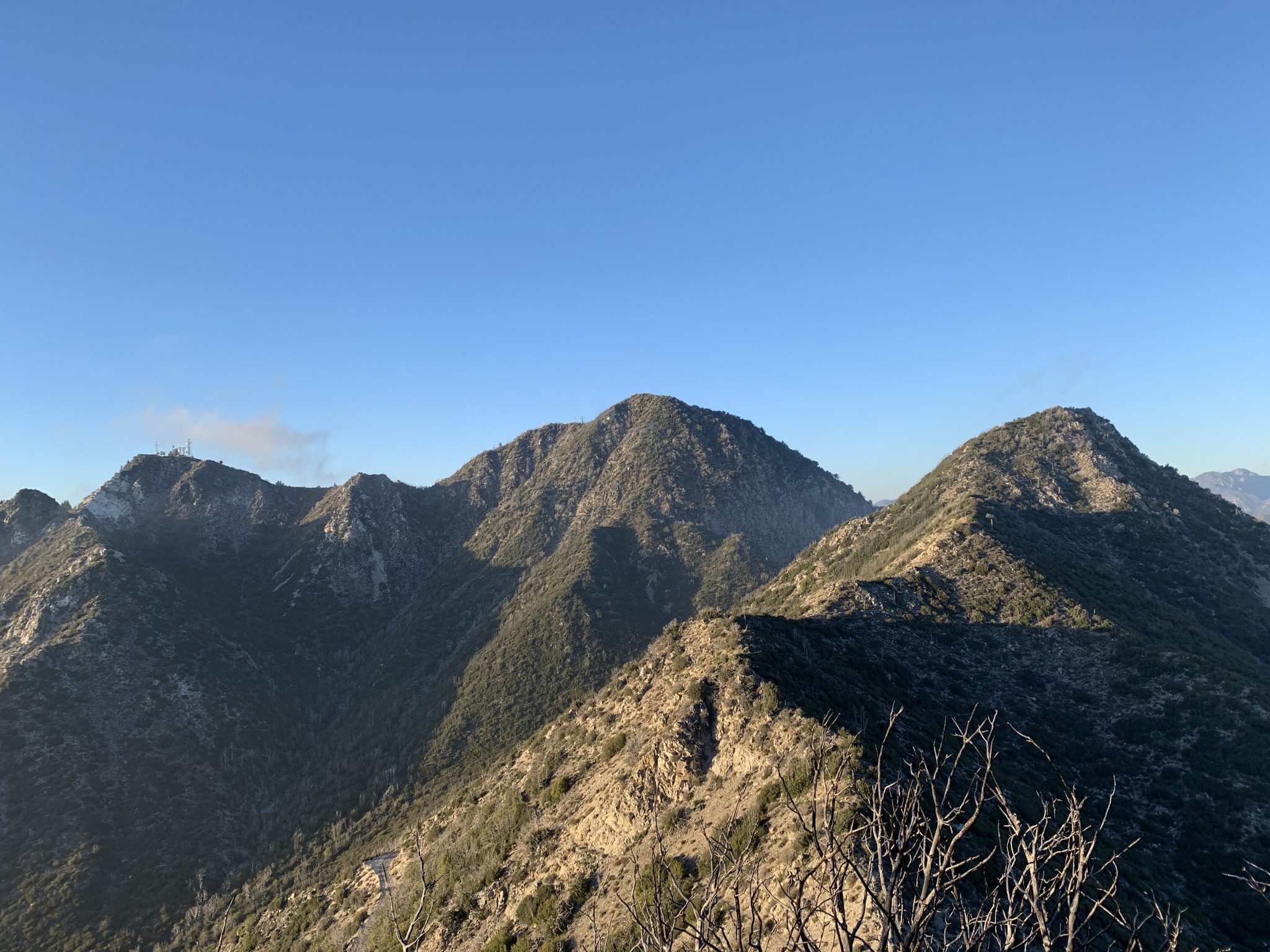
If you can identify Mt. Wilson with the antennas on top, then look to the left, it should be the last round bump on the ridge.

Hike Details
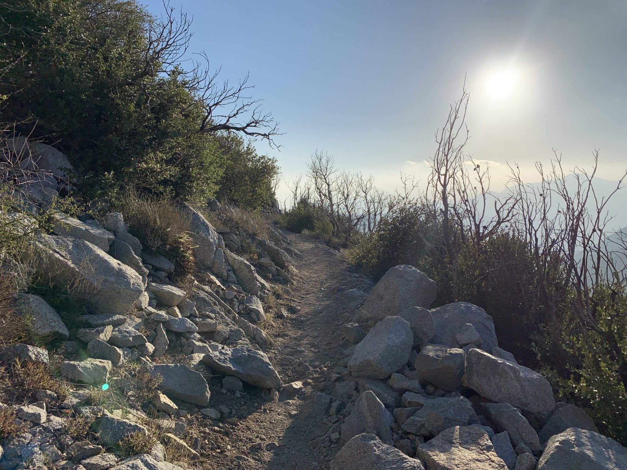
Most hikers find this well marked, well travelled mountain hike relatively easy. However, some sections are scattered with loose rock, from golf ball size to watermelon size so for some hikers, sturdy boots with ankle support may be preferred.
Some hikers may find it helpful to use trekking poles for extra balance in some sections, and many hikers find it easy to walk or trail run the entire route.
About 1/2 mile into the hike we will be passing through the old Mueller tunnel which can get very dark inside (even in the day time) While it’s not required, some hikers might want to keep the head lamp handy for this section. It’s also a great place to take some very cool photos

DIFFICULTY:
Easy – Moderate
DISTANCE:
3.3 miles (rt)
HIKE TIME:
2hr 30 mins (rt)
ELEVATION GAIN:
538′


Getting there
Besides the 1 hour hike to the top of Mt. Lowe, there’s also a 30 minute drive from La Cañada-Flintridge to get to the trail head at Eaton Saddle.
So with this in mind, we have two suggested options on how to get to the trail head, carpool, or drive solo.
Option 1: Carpool
Carpooling is the better way to go since the parking at the trail head has space for about 35 cars.
Carpool trekkers will be parking at Trader Joe’s in La Cañada, from there we can arrange carpool groups and drivers.
The address where we will meet to carpool is roughly 475 Foothill Blvd. La Cañada Flintridge, CA 91011
(see map below)

From here. we will collect our gear and carpool to Eaton Saddle to minimize parking at the trail head where the parking area only has enough space for about 20 cars.
– The drive to the trail head takes about 30 minutes, on winding mountain roads. Something to consider when selecting your seat for the ride.
– This will be the last chance for an acual restroom and chance to pick up snacks and drinks.
– There’s no restrooms at the trail head, but there’s restrooms at Red Box parking area (about 2 miles before the trailhead)
Option 2: Driving to the trail head
NOTE: This is a mountain road with sharp turns and steep cliffs, so if you are planning on driving up this route, be EXTREMELY CAREFUL and be advised that cyclists share this road as well as sports cars and motorcycles who, at times are seeking a thrill on these shared mountain roads. Use turn-outs if you’re backing up traffic.
DON’T RUSH, DON’T SPEED
Other treacherous conditions may be present, like rocks on the roadway, ice in the winter time, slick surfaces after rains, poor visibility with low clouds and fog, blinding high beams at night and glaring sunlight in the day. Your car needs good tires and good brakes.
You can check the latest conditions for SR2 here at CalTrans
– Driving out along highway 2 for about 15 miles into the Angeles National Forest, we eventually come to Red Box Saddle where we turn right onto Mt. Wilson Rd. Follow this narrow, winding road for about 2 miles to Eaton Saddle. There is parking on both sides of the road.
-On the weekends, the parking here fills up since there’s only room for about 35-40 cars.
Sometimes, you might have to wait until someone leaves to find a parking spot.
-Since there’s no facilities at Eaton Sadlle, an Adventure Pass is not required.
More info on the Adventure Pass here…
-We usually convene in the parking area near the large metal gate. The trail head begins just beyond the large metal gate.
The map below shows driving directions to the trail head from the carpool meet up location in La Canada.
What to Bring
T1D items in red
Pack:
– Small…a 10 liter day pack will be fine.
Water:
– 1 liter will be plenty
– A 16 oz bottle of Gatorade (full sugar) can take care of most your water and glucose needs.
Camera:
Any kind of camera will do (SLR, iPhone, Polaroid)
Headlamp:
Not Required.
(but always good to keep in the pack)
Footwear:
– Trail Runners (PERFECT)
– Road Running shoes (GREAT)
– Hiking Boots (GOOD)
Exposure Protection:
– Hat (cap will be fine)
– Chapstick or Carmex
– Buff / Bandanna (optional)
– Sunglasses
– Beanie (in case it gets cold)
– Light gloves (in case it gets cold)
– Poncho (in case it rains)
– Wind shell (winter)
– Long sleeve mid-layer (winter)
Trail Calories:
– Trail treats… Things that can fit in your pockets but won’t melt
– Light snack (like an apple or trail mmix)
– Energy Gels
– Starburst
– Glucose Tabs
Trekking Poles:
– Not a requirement,
(but maybe helpful for some hikers)
T1D 3-ESSENTIALS:
– Backup Glucose meter + strips
– Backup insulin
– Pocket glucose (non-melting)
Other Stuff:
LNT:
We will be traveling in a fragile ecosystem, so we will practice Leave No Trace principles.
Whatever we pack in, we will be packing out.
Feel free to bring an extra ZipLoc bag for litter.
Leave rocks, trees, wildlife undisturbed.
Just in Case:
At least 1 person in the party will carry:
– First Aid Kit
– Blister Treatment
– Phone
– Map
– Headlamps
– Emergency blanket
– Emergency glucose
For more info or questions: email:
info@typeoneoutdoors.com